Sponsored by North Arrow Technologies, the IMAGIN Map Gallery for 2018 was completely revamped and included two online categories in addition to the tradition printed map gallery categories. Judging in the online categories of Story Maps and Online Mapping Applicaion was performed by the Map Gallery Planning Team the weak prior to the conference, and the judging panel selected the winners of the Cartographic Design and Analytic Presentation categories as part of the IMAGIN Conference on June 19th, 2018. Winners received a framed certificate and a $50 gift card for their efforts.
2018 Map Gallery Judges James Rutherford - North Arrow Technologies John Nelson - Esri Scott Swan - Northwestern Michigan College Keith Rikli - Drone View Technologies (Alternate)
2018 Map Gallery Planning Team Thomas Van BruggenTerry Zahniser Shawn BaldwinScott Swan Ariana TothJanet Mocadlo Melissa SalichDiane O'Connell Keith Rikli
2018 IMAGIN Map Gallery Results
Printed Map Gallery Competition All printed maps entered in the map gallery competition are eligable for the Cartographic Design, Analytic Presentation, and Peoples Choice Awards. Map submissions are not required to select a category and the judging panel is allowed to select from any of the entrants a winner for the judged awards. The Peoples Choice award is selected by conference attendees during the annual conference.
Click Thumbnail to View Full Size Map
1st Place - Cartographic Design
LIAA - Award Accepted by Paul Riess
The Clinton River Water Trail Paddling Guide Book
1st Place - Analytic Presentation
SEMCOG - Delores Lee Muller and Sirisha Uppalapati
The 30 Year Demographic Shifts: SEMCOG 2045 Regional Development Forecast
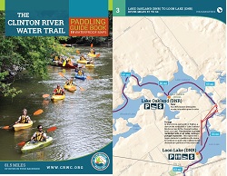
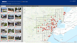
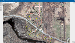
Peoples Choice Winner
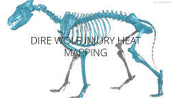
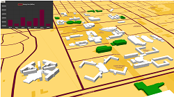
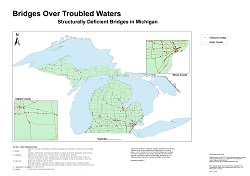
Amy Gilley - Middle Tennessee State University
Bridges Over Troubled Waters
Additional Map Gallery Entrants - Listed Alphabetically by Last Name
Keri Blough - City of Novi City of Novi Street Map & Fire Districts
Dr. Stacy Leroy Daniels - Benzie County River Improvement COmpany Crystal Lake Watershed with Bathymetry of Crystal Lake
Kate Keeley - University of Michigan Cheboygan River Watershed
Troy Rosencrants - University of Michigan - Flint EDA University Center Region
Nicholas Weil - RS&GIS - Michigan State University Red Cedar River Flood Mapping - February 2018
Story Map Competition
Click Thumbnail to View Story Map
1st Place - Story Map Competition City of Farmington Hills Parks A Story Map by Matt Malone, City of Farmington Hills
Honorable Mention - Story Map Competition CUPPAD Activities A Story Map by Rawan Alhabbal, CUPPAD
The Following Story Map Submissions are listed in Alphabetical Order by Last Name and the order does not indicate any position or scoring
Historic Brattonsville A Story Map by Wendy Dorman, Eastern Michigan University
Muskegon's Art, Architecture & Gardens A Story Map by Nathan Hollenbeck, Muskegon County GIS
West Michigan Russ Mawby Signature Service Project 2018 A Story Map by Nathan Hollenbeck, Americorps, Muskegon Urban Safety Corps
TAP Projects, Locations and Status A Story Map by Mark Jones, SEMCOG
Dire Wolf Injury Heat Mapping A Story Map by Kate Keeley, UCLA
Julie's Improbable Flight A Story Map by John Nelson, Esri
Online Mapping Application Competition
Click Application Thumnail to view application if available.
1st Place - Online Map / Application Category Southeast Michigan ParkFinder
SEMCOG - Chad Misiuk
The following Online Interactive Map / Mapping Application Submissions are listed in Alphabetical Order by Last Name and the order does not indicate any position or scoring
San Francisco Drug Crimes and Population Deomographics
Amelia Baird - Central Michigan University
Note: Application was internally viewed only
City of Hastings Riverside Cemetery
Ed Dempsey - Prein & Newhof
Sustainability is Central
Adam Gallaher - Central Michigan University
Note: Application was internally viewed only
2018 Road Construction Projects
Aaron Verhelle - Oakland County Road Commission