IMAGIN's GIS for Everyone Award
The IMAGIN GIS for Everyone Award is presented to an organization that seeks to make GIS data or analysis accessible to other organizations and/or to the public. GIS organizations that strive to disseminate and share data make spatial data available to everyone.
Awarded annually since 2000, the GIS for Everyone award is now in its 25th year of being awarded.
IMAGIN's 2025 GIS for Everyone Winner
|
| Year | Recipient | Presentation or Bio |
| 2024 |
Barry County Ivan Christopher Open Data Implementation View the GIS for Everyone presentation in slide form HERE |
|
| 2023 |
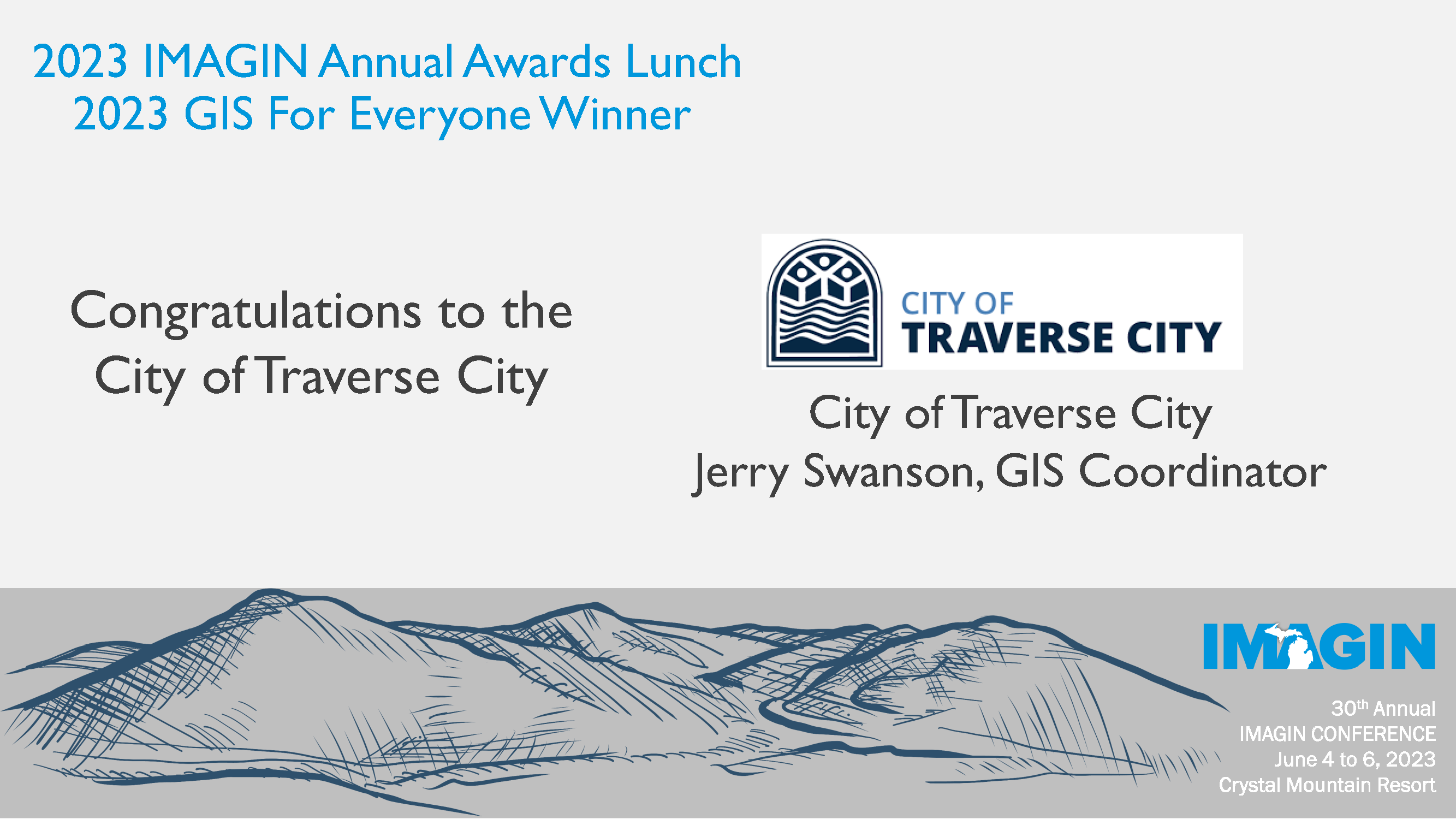
City of Traverse City View the GIS for Everyone presentation in slide form HERE |
|
| 2022 |
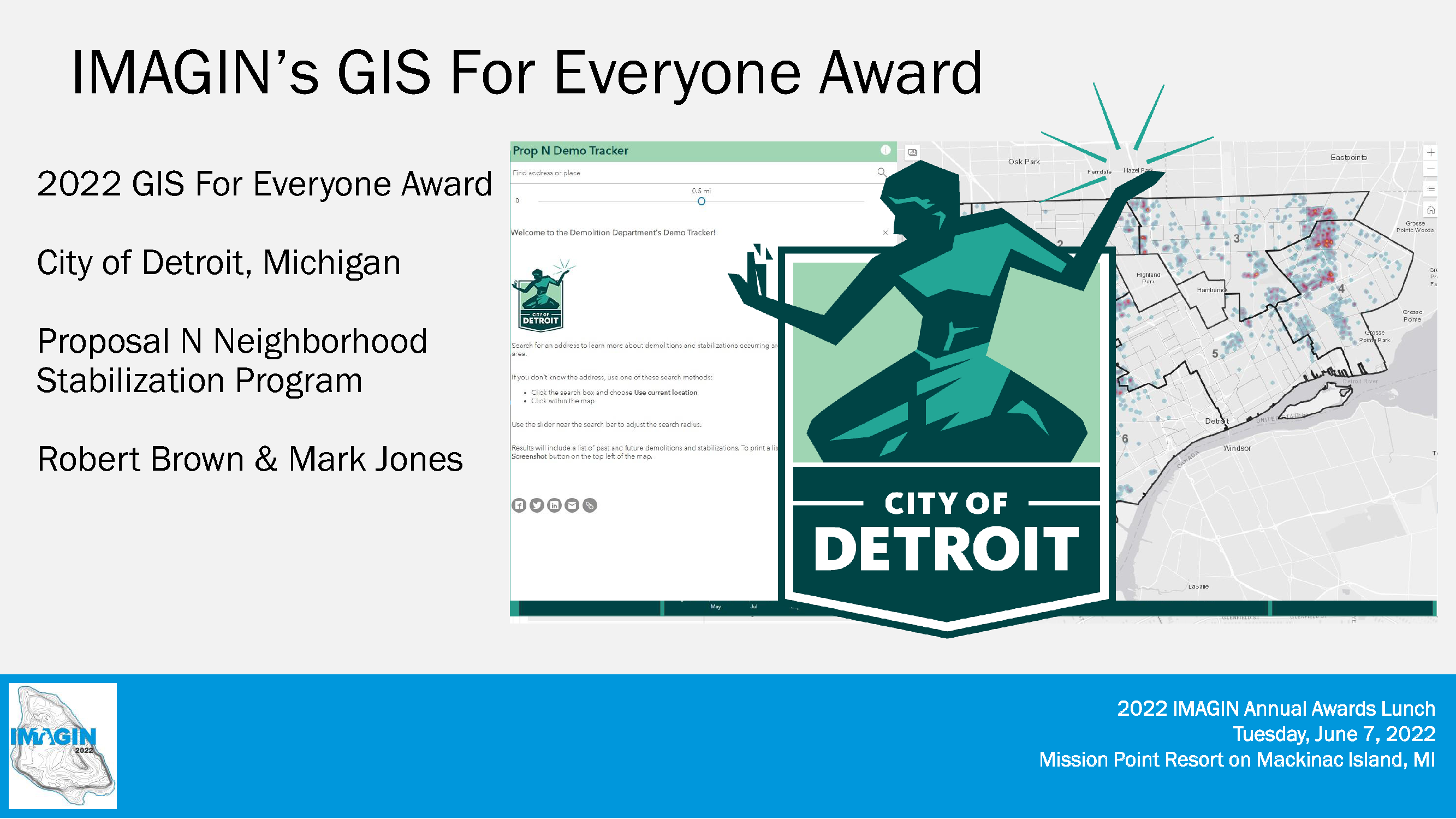
City of Detroit View the GIS for Everyone presentation in slide form HERE |
 |
| 2021 |
Shanna Martucci, GIS Analyst View the GIS for Everyone presentation in slide form HERE |
 |
| 2020 |
City of Farmington Hills Implementation of ArcGIS Online for application deployment and engagement for citizens. Award accepted by Matt Malone, GISP - GIS Coordinator |
 |
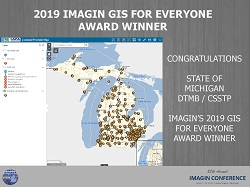
| 2019 |
State of Michigan: DTMB, Center for Shared Solutions Award accepted by Everett Root & Ulrika Zay |
 |
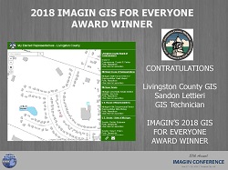
| 2018 | Livingston County GIS Implementation of ArcGIS Online and public gallery with numerous applications for public consumption at no charge for the first time. Award accepted by Sandon Lettieri, GIS Technician |
 |
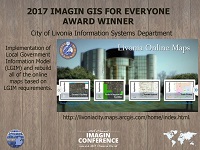
| 2017 | City of Livonia - Information Systems Department Implementation of the Local Government Information Model (LGIM) and Complete Rebuild of Online Mapping System Award accepted by Dan Teodor, MSc, GISP - GIS Administrator |
 |
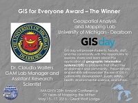
| 2016 | Geospatial Analysis and Mapping Lab University of Michigan - Dearborn GIS Day and Community GIS Engagement Programs Award accepted by Dr. Claudia Walters, GAM Lab Manager |
 |
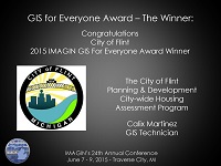
| 2015 | City of Flint, Michigan - Planning & Development Department City-wide Housing Assessment Program and Neighborhood Collaboration Program Award accepted by Calix Martinez, GIS Technician |
 |
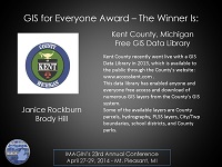
| 2014 | Kent County, Michigan - GIS Department Online GIS Data Library and Open Data Award accepted by Janice Rockburn, GIS/Financials Team Lead and Elliott Lowe, GIS Analyst |
 |
| 2013 | City of Holland, Michigan - Technology Services Department Citizen Request Management Award accepted by Matt VanDyken, Technology Services Coordinator |
 |
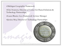
| 2012 | State of Michigan - Center for Shared Solutions & Technology Partnerships Michigan Framework Data Program Award accepted by Eric Swanson, Director and Laura Blastic, Geo-Framework Services Manager |
 |
| 2011 | Eaton County, Michigan - GIS Department Digital Plat Book Program Award accepted by Eric Daley, GIS Manager |
Coming Soon |
| 2010 | City of Midland, Michigan - GIS Department Web Mapping Applications Award accepted by Dan Brumm, GIS Coordinator |
Coming Soon |
| 2009 | Muskegon County, Michigan - Equalization/GIS Department GIS Web Mapping Application Development Award accepted by Thomas Van Bruggen, GIS Administrator |
Coming Soon |
| 2008 | City of Birmingham, Michigan - GIS Department Retail Market Analysis Program Award accepted by Tara Maguire |
Coming Soon |
| 2007 | McKenna and Associates City of River Rouge Interactive Mapping Tool |
Coming Soon |
| 2006 | City of Kalamazoo, Michigan - GIS Online GIS Applications with City Data Availability |
Coming Soon |
| 2005 | Grand Traverse County, Michigan - GIS Department GIS Intranet Application |
Coming Soon |
| 2004 | City of Portage, Michigan - GIS Department GIS Access Initiative |
Coming Soon |
| 2003 | Wastenaw County, Michigan - GIS Department GIS Program Initiatives Award accepted by Kimberly Wraight, GIS Lead |
Coming Soon |
| 2002 | City of Grand Rapids, Michigan - GIS Department IMS/GIS/CMMS/DOC: Evolving Public Service into Intelligent Community-Oriented Government Award accepted by Paul Klimas, GIS Administrator |
Coming Soon |
| 2001 | Oakland County, Michigan - GIS Department | Not Available |
| 2000 | South East Michigan Council of Governments (SEMCOG) Regional GIS Coordination Committee |
Not Available |


