Past Award Winners
IMAGIN GIS Innovation Award
Presented since 2013 - Click slide thumbnail to view presentation slides
| Year |
Recipient |
Presentation or Bio
|
| 2024 |
City of Detroit
GIS Enterprise Team
The Detroit Street View (DSV) program
View the GIS Innovation presentation in slide form HERE
|

|
| 2023 |
Eaton County GIS
Jon Merrick, GIS Administrator
Family Information Center
Application Suite as part of the Eaton County Active Violence Incident (AVI) Team
View the GIS Innovation presentation in slide form HERE
|

|
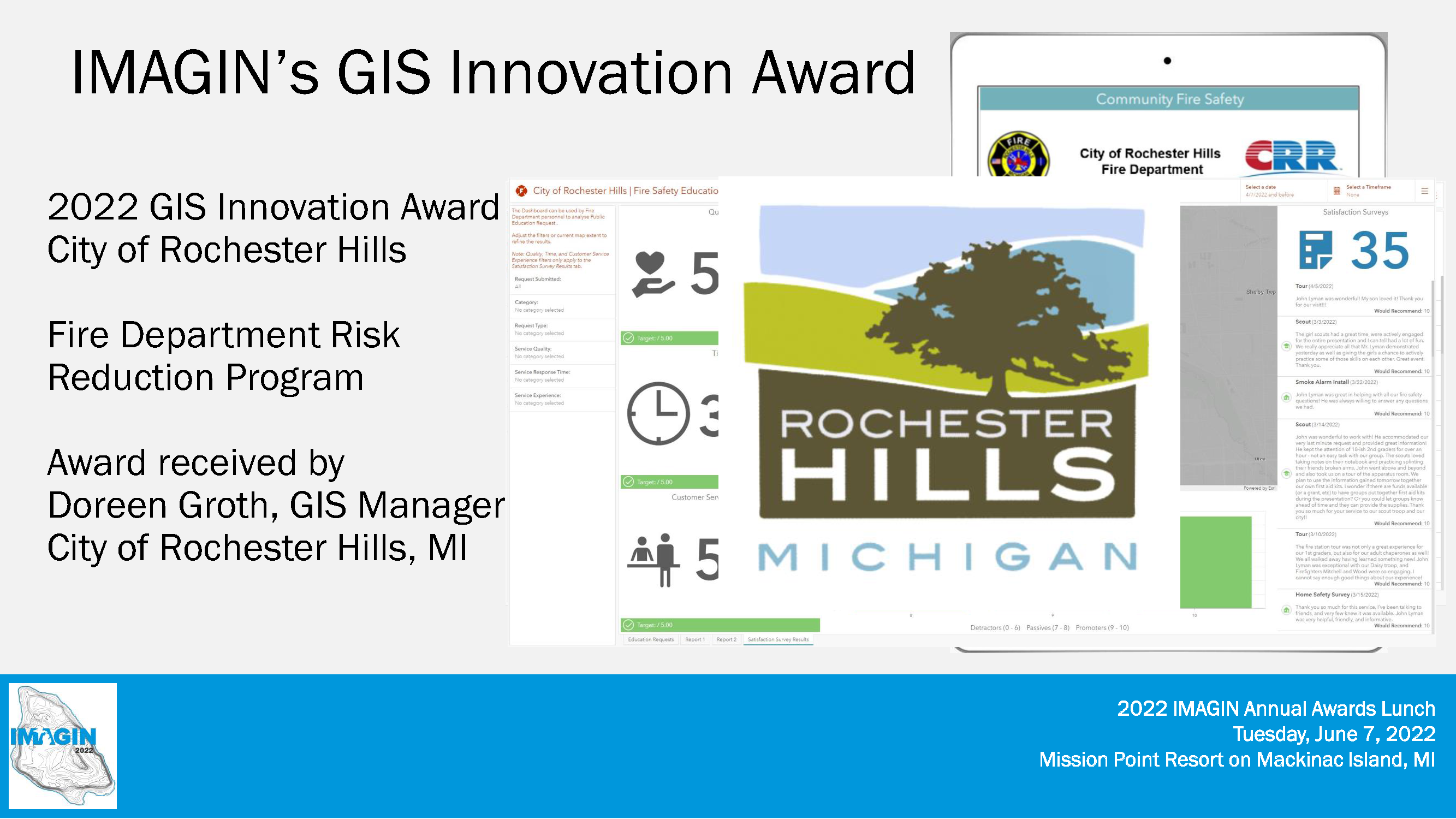
2022
|
City of Rochester Hills, MI
Doreen Groth, GIS Manager
Implementation of an internal and external deployment of the Fire Department Risk Reduction Program
|
|
| 2021 |
Keizzy Anpalagan
GIS Specialist
City of Flint Planning & Economic Development Department
View the GIS Innovation presentation in slide form HERE
View the GIS Innovation presentation recording HERE
View the 2021 IMAGIN Awards Storymap section for GIS Innovation HERE
|
 |
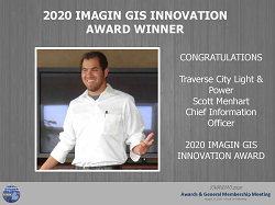
| 2020 |
Traverse City Light & Power
Scott Menhart, Chief Information Officer
GIS-centric implementation within the utility industry |
|
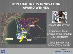
| 2019 |
Cheboygan County, Sharon Weiss-Brandau, GIS Coordinator
Implementation of low cost GNSS "dog collar" tracking for
Search and Rescue efforts. |
 |
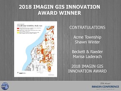
| 2018 |
Acme Township / Beckett & Raeder
Shawn Winter / Marisa Laderach
Utilization of GIS to analyze Solar Energy Potential Across
Acme Township |
|
| 2017 |
Ferris State University
Dr. Sagar Deshpande
Innovative semi-automated workflows to hydro-flatten LiDAR
data, extracting water surface elevation at the time of data
acquisition
|
 |
| 2016 |
Michigan Land Bank Fast Track Authority
Geospatially Referenced Street Level Video
Property Inventory Project
Award accepted by Ryan McNeil |
 |
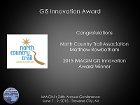
| 2015 |
North Country Trail Association
Trail Mapping, ArcGIS Online Implementation and Trailhead
Kiosk Implementation
Award accepted by Matthew Rowbotham |
|
| 2014 |
State of Michigan, DTMB, Center for Shared Solutions and
Technology Partnerships
Framework and NG-911 Programs
Award accepted by Everett Root, Outreach Specialist |

|
| 2013 |
Eastern Michigan University
Esri K-12 Software Licensing Program
Award accepted by Michael Dueweke, Manager |

|
IMAGIN GIS in Government Innovation Award
Presented from 2000 to 2012
|
Year
|
Recipient
|
Presentation or Bio
|
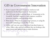
| 2012 |
Kent County, Michigan - GIS Department
Access Kent / Gerald R. Ford Airport GIS Application
Award accepted by Janice Rockburn, GIS Team Lead |
|
| 2011 |
|
Coming Soon |
| 2010 |
|
Coming Soon |
| 2009 |
|
Coming Soon |
| 2008 |
|
Coming Soon |
| 2007 |
|
Coming Soon |
| 2006 |
|
Coming Soon |
| 2005 |
|
Coming Soon |
| 2004 |
|
Coming Soon |
| 2003 |
|
Coming Soon |
| 2002 |
|
Coming Soon |
| 2001 |
|
Coming Soon |
| 2000 |
|
Coming Soon |

